GCS
Software
DroneSharp GCS is our custom ground control software to optimally configure and fly the VIGOR UAV. Specialized for survey and mapping from the ground up.
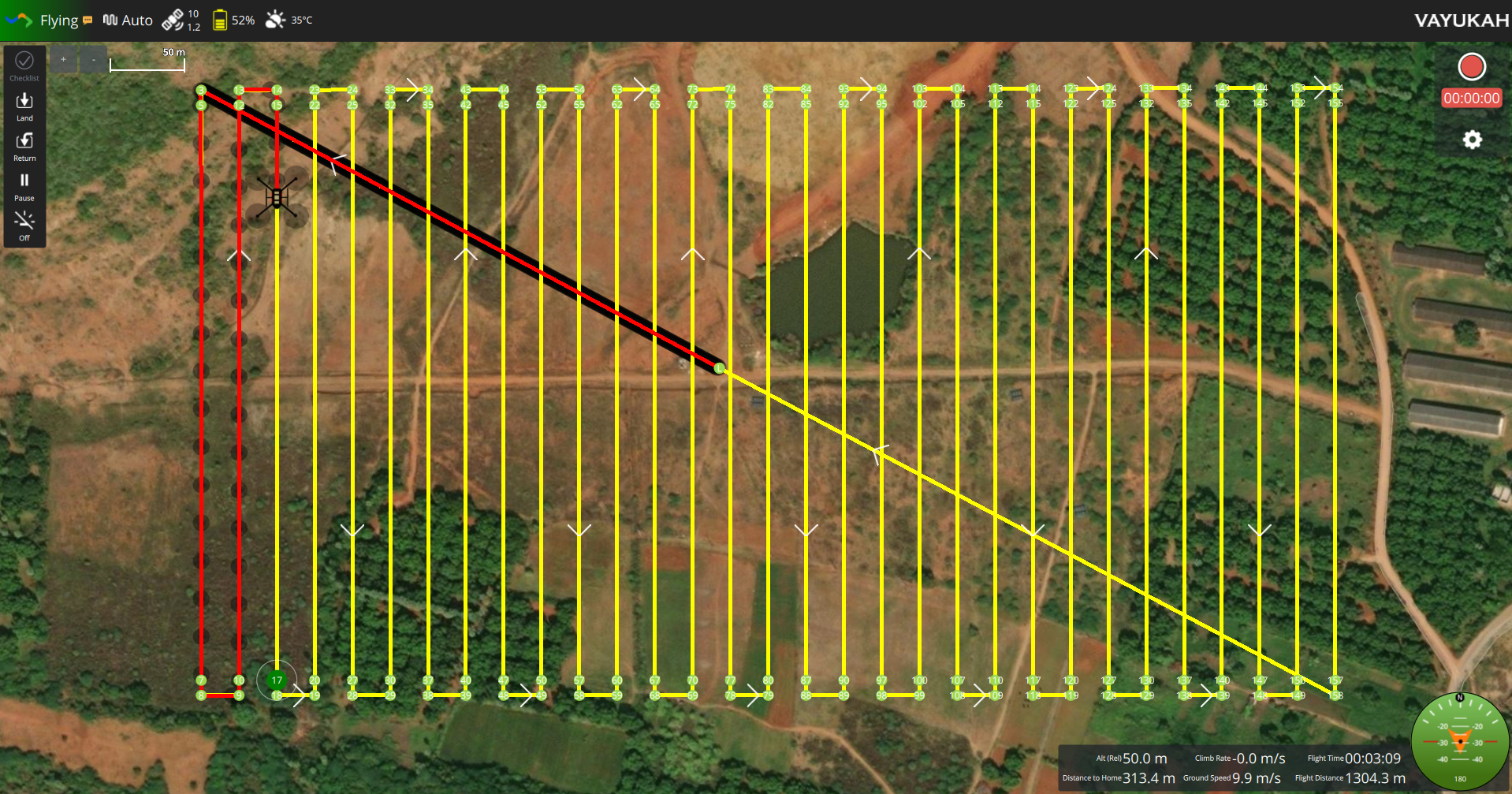
Built for Survey Ops
Every feature is purpose-built for survey and mapping workflows — not adapted from a generic GCS.
Real-time Telemetry
Context-specific data panels that surface exactly what you need during each phase of flight.
Inflight Survey Preview
See your survey coverage build in real time as the drone captures imagery.
Weather Forecast
Real-time weather insights including temperature, wind speed, humidity, and forecast to ensure safe and efficient drone operations.
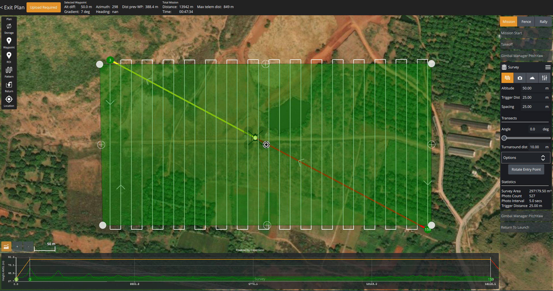
Terrain-aware Planning
Import terrain data to automatically adjust flight altitude for consistent GSD across hilly terrain.
Flying is a Breeze
Intuitive controls and smart automation make operating the VIGOR S50 straightforward, even in complex survey environments.
- Mission repository
- Context specific telemetry
- Windows, Android
- Audible prompts
Planning is Fun
Powerful mission planning tools that adapt to your payload and terrain, making pre-flight preparation fast and accurate.
- Missions tailored for payload types
- Multiple map providers
- Plan with terrain data
- Mission presets
Industries We Serve
Land Survey
High-accuracy topographic surveys for infrastructure and construction projects.
Precision Agriculture
Crop health monitoring, NDVI mapping, and field analytics for modern farming.
Construction Monitoring
Progress tracking, volumetric analysis, and site documentation at scale.
Disaster Relief
Rapid aerial assessment and logistics support in humanitarian operations.
Infrastructure Inspection
Power lines, pipelines, and bridges inspected safely and efficiently.
Heritage Documentation
3D digitization of historical sites and cultural heritage preservation.
Ready to take control?
DroneSharp GCS comes bundled with the VIGOR S50. Contact us to learn more or request a demonstration.