Drones4
Relief
A cloud-based humanitarian solution that harnesses drone technology for disaster response — bringing speed, precision, and intelligence to the teams that need it most.
Technology for Humanity
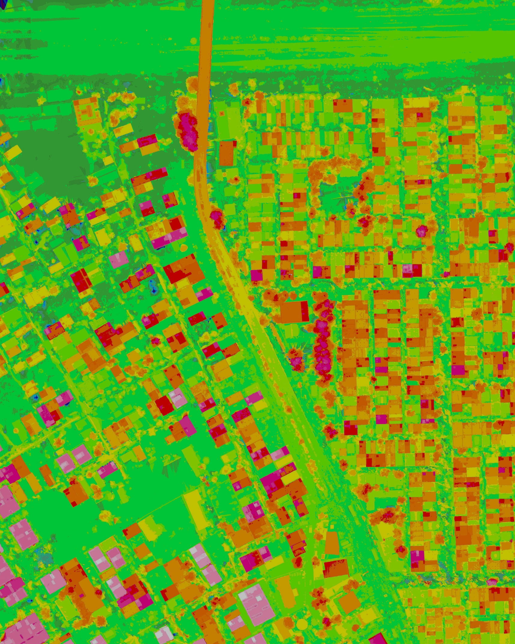
Drones4Relief combines our drone hardware, GCS software, and cloud platform into a unified humanitarian response system.
Rapid Area Mapping
Deploy multiple drones simultaneously to map large disaster-affected areas in minutes, not hours.
Real-time Data Feeds
Near real-time aerial data streams delivered directly to disaster relief command centers.
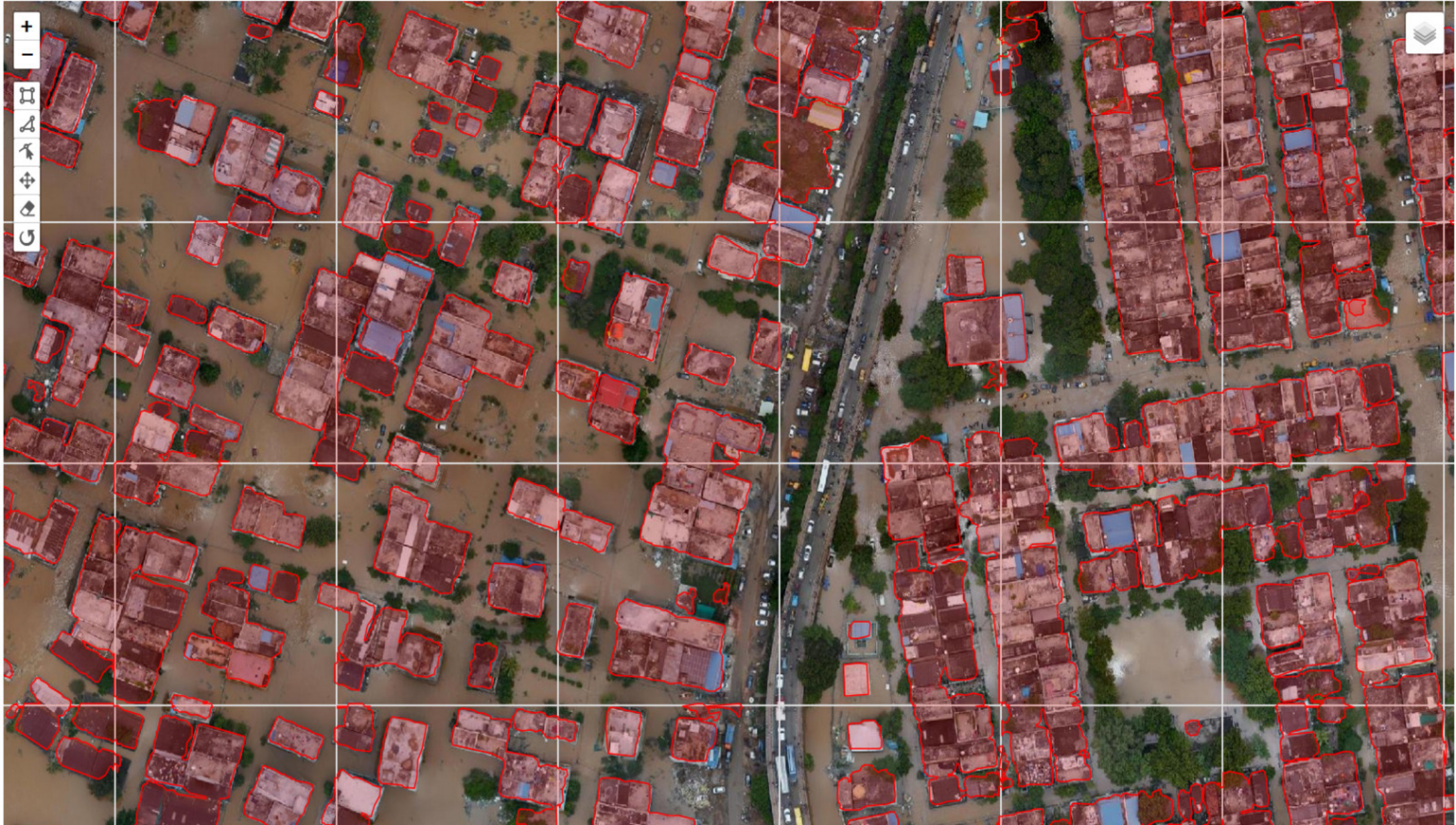
AI Damage Assessment
Machine learning algorithms automatically identify and classify structural damage from aerial imagery.
Coordinated Delivery
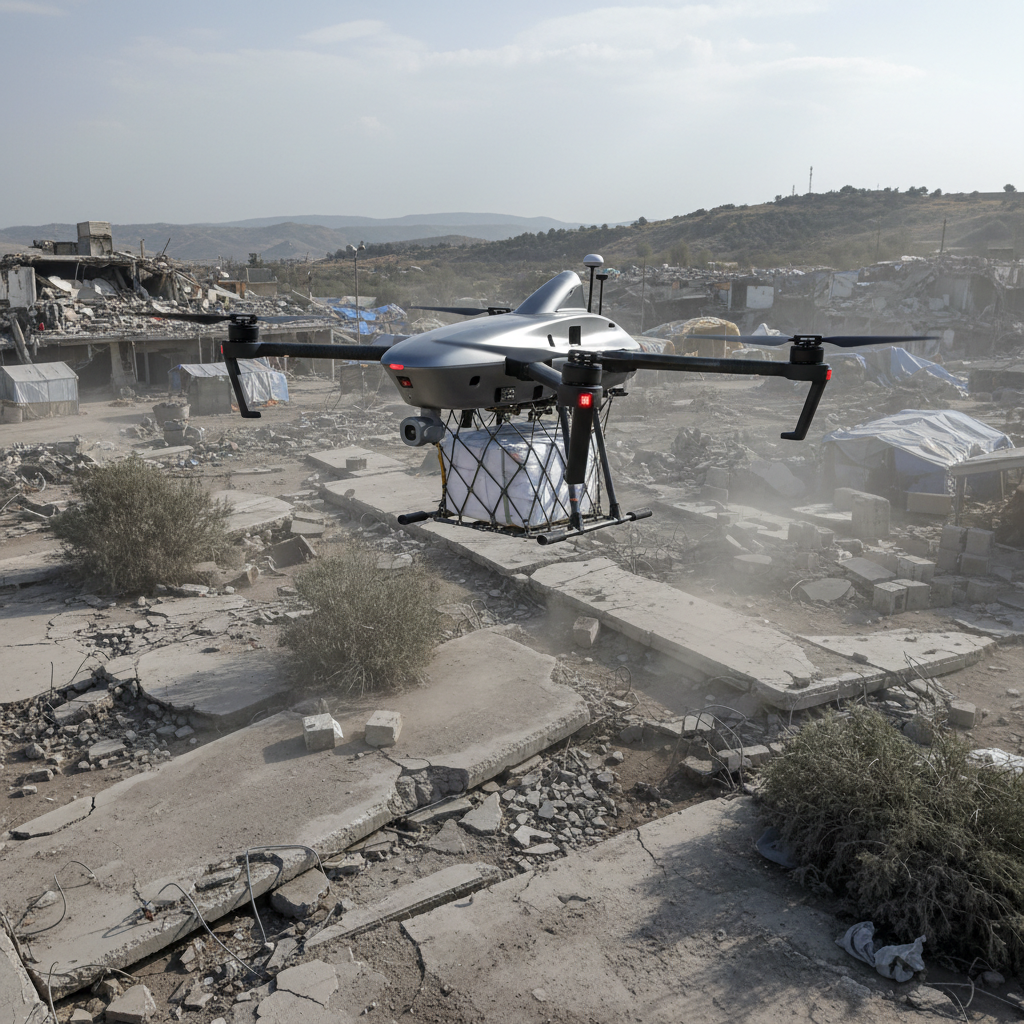
Seamless, coordinated drone delivery operations for aid packages to hard-to-reach locations.
Actionable Metrics
Comprehensive dashboards with actionable metrics to help relief teams prioritize and allocate resources.
Multi-drone Coordination
Centralized command and control for fleets of drones operating across a disaster zone simultaneously.
Where We Deploy

Flood Response
Rapid mapping of flood extents, identification of stranded survivors, and coordination of rescue operations.
Earthquake Relief
Structural damage assessment, search and rescue support, and supply delivery to collapsed building sites.
Be Part of the Mission
Drones4Relief is currently in development. Join our waitlist to be among the first to access this humanitarian drone platform when it launches.