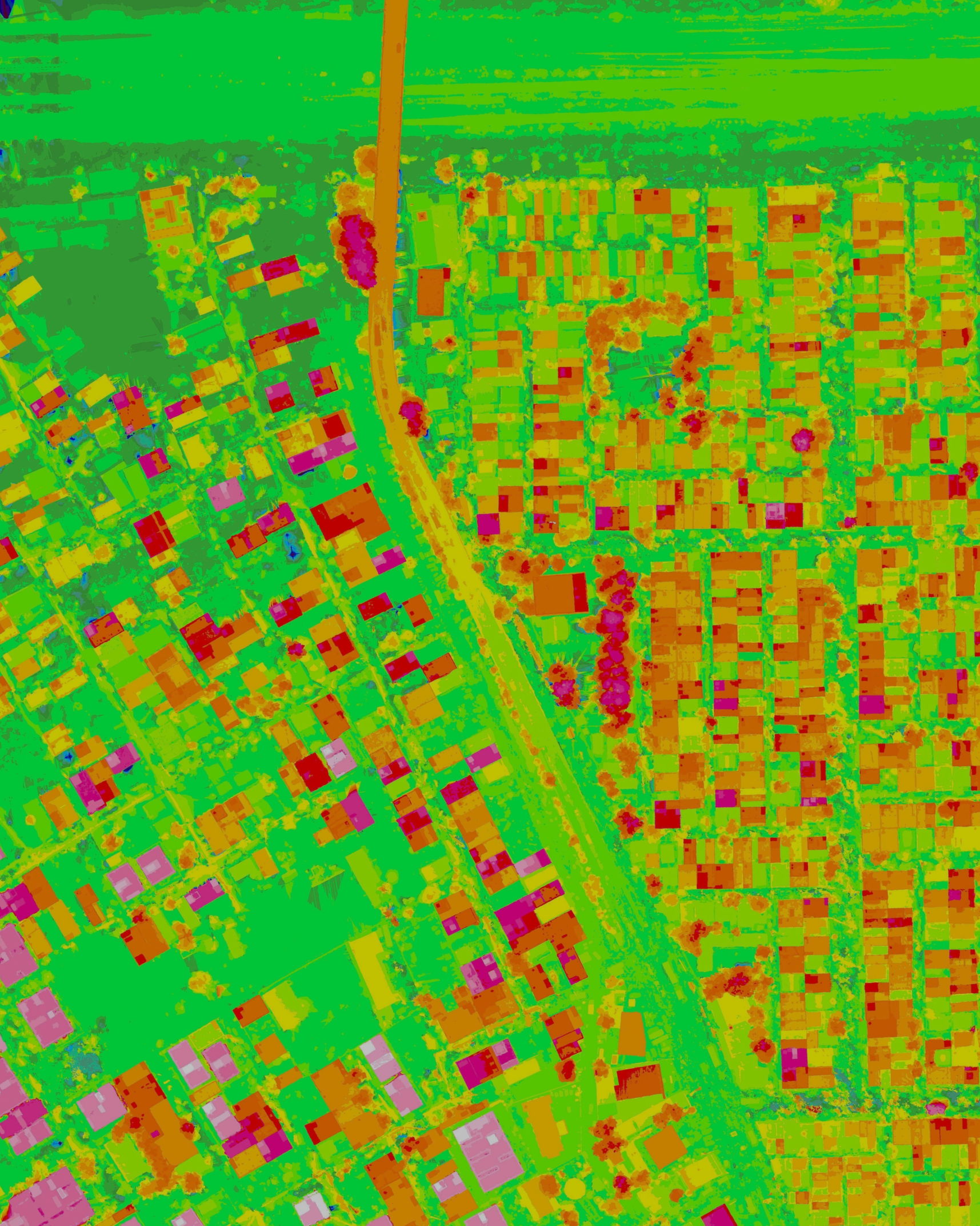
Survey & Mapping
Made Easy.
Vayukah builds the complete drone stack — precision UAV hardware, intelligent batteries, and DroneSharp software — so your team maps more ground in less time.
Our Products
Built to exacting quality standards and tested rigorously. Fly with confidence.
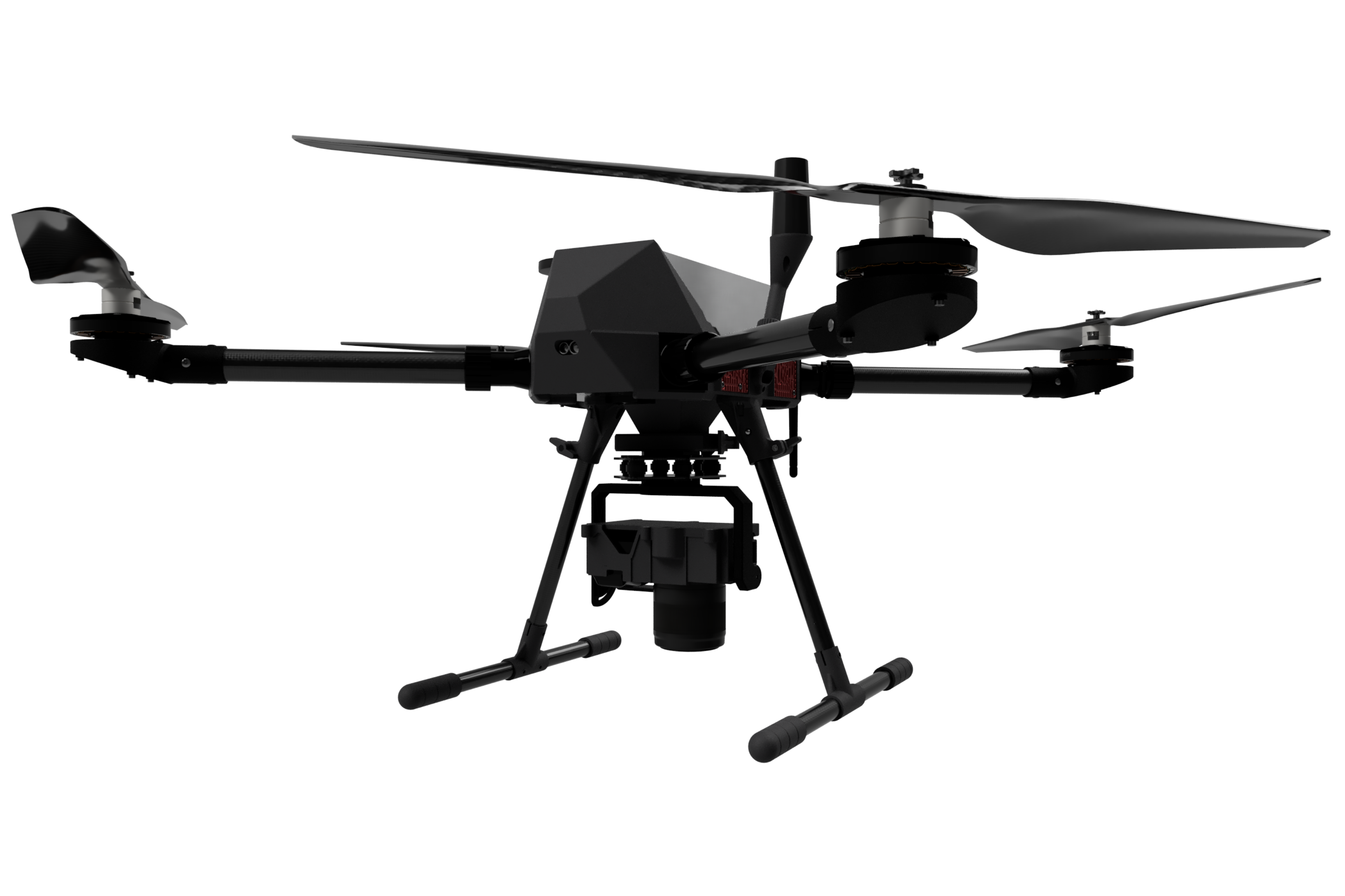
VIGOR S50
Powerhouse survey UAV
Built to exacting quality standards, the VIGOR S50 has gone through a rigorous test regime so you can fly confidently on every mission.
Our Solutions
From mission planning on the ground to processing in the cloud — DroneSharp closes the loop on your survey workflow.
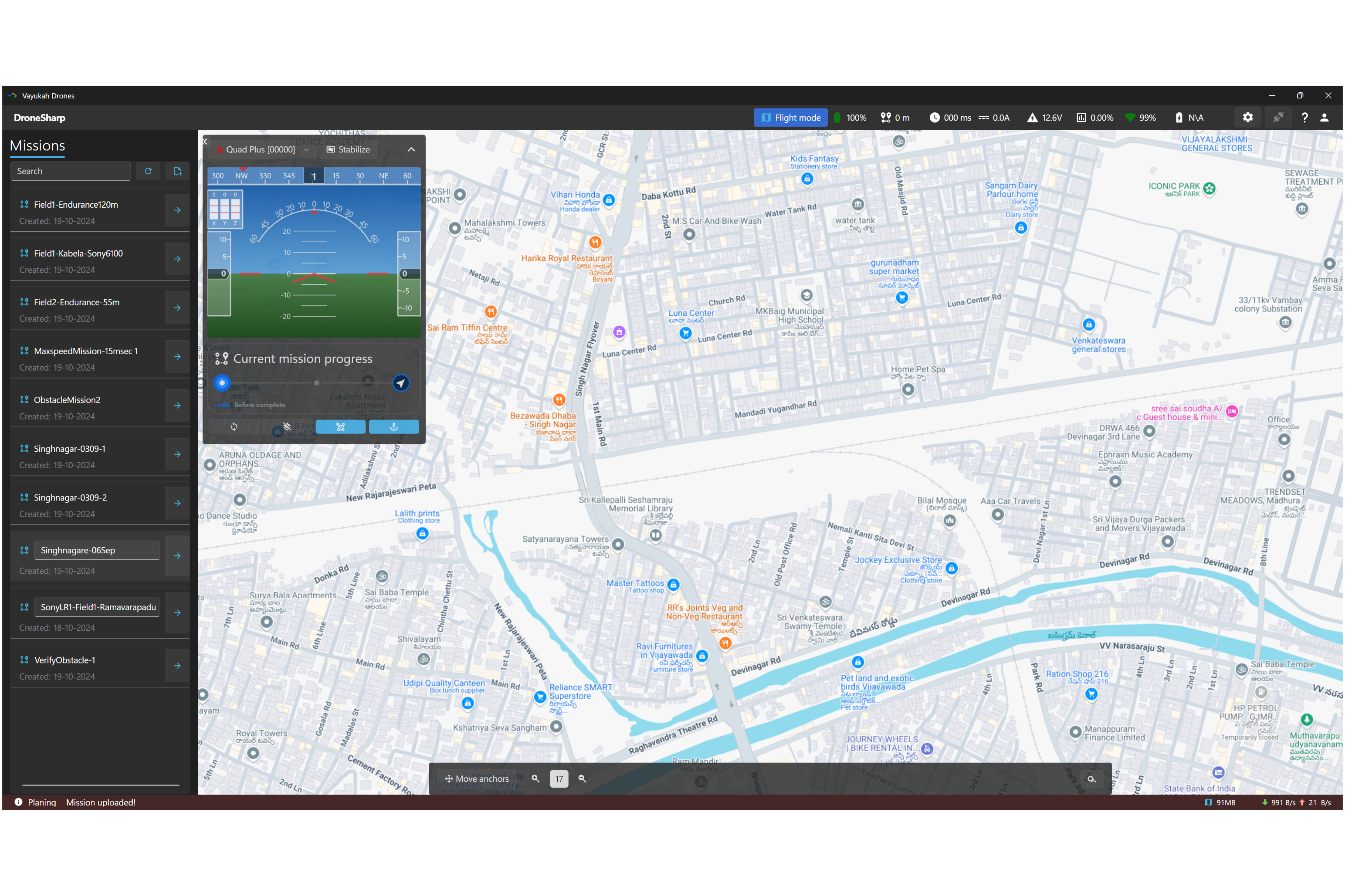
DroneSharp GCS
Specialized ground control station for survey and mapping operations. Plan, execute, and preview missions with precision.
- Multi mission management
- Inflight survey preview
- Real-time telemetry
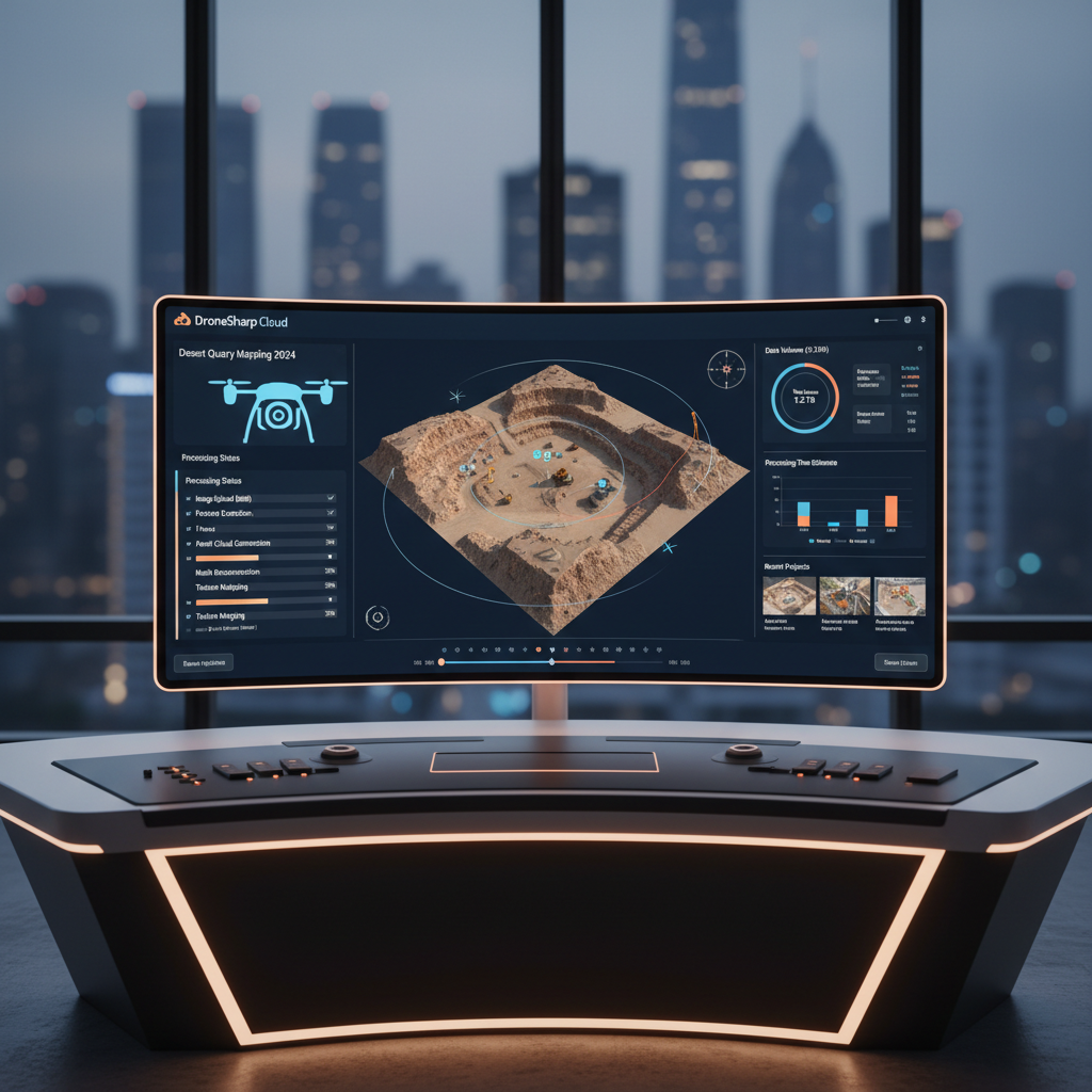
DroneSharp Cloud
Cloud-based photogrammetry platform for processing survey data, managing projects, and collaborating with your team.
- Cloud photogrammetry processing
- Survey project management
- GCP interface & control
Drones4Relief
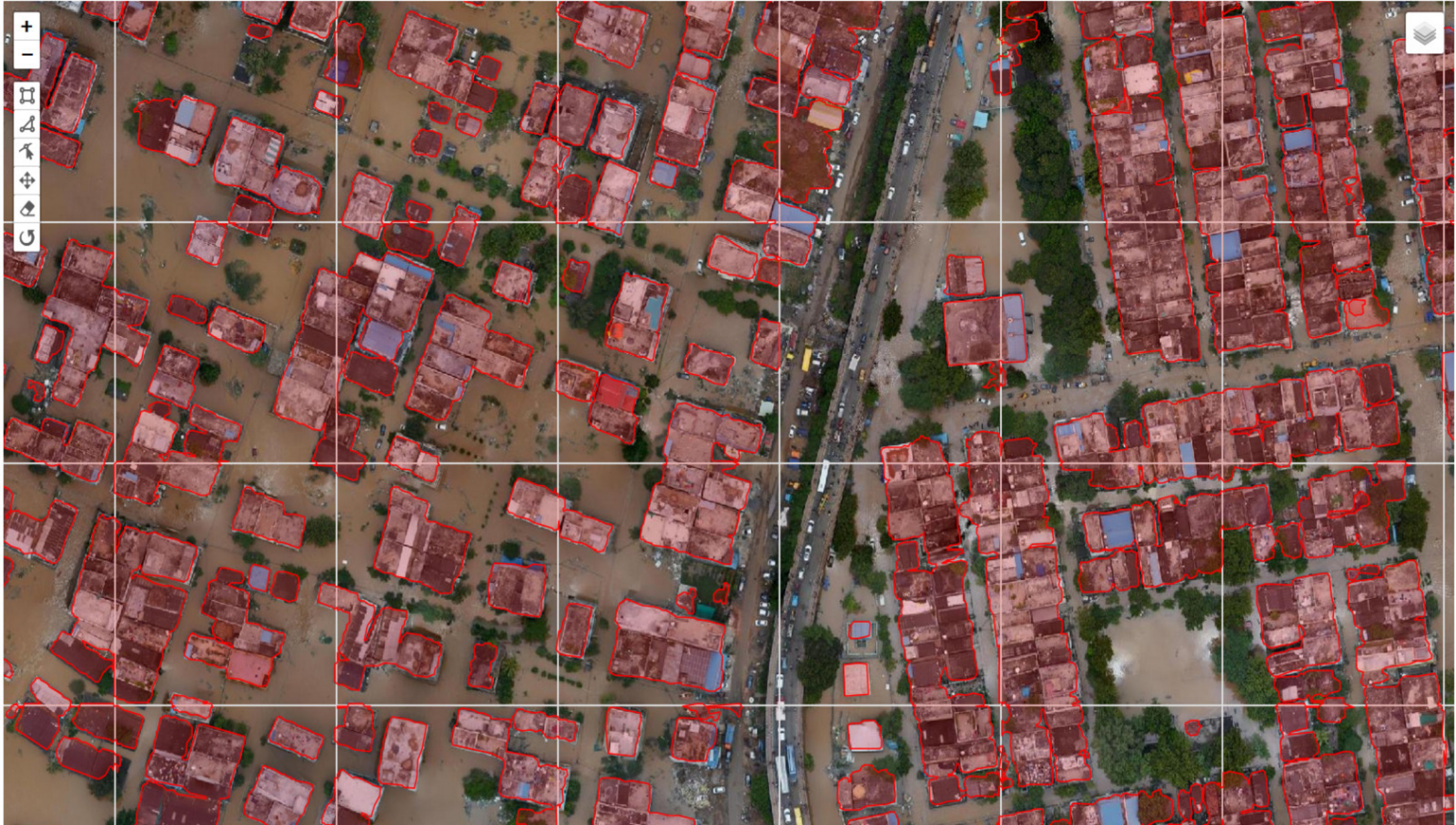
A cloud-based humanitarian solution that harnesses drone technology for disaster response — bringing speed, precision, and intelligence to the teams that need it most.
- Quick mapping with multiple drones simultaneously
- Near real-time data feeds for disaster relief teams
- ML and AI assistance for damage assessment
- Seamless, coordinated drone delivery operations
- Actionable metrics for efficient disaster relief