Cloud
Platform
DroneSharp Cloud is our photogrammetry offering that is cloud scale. Process, manage, and deliver survey projects from anywhere in the world.
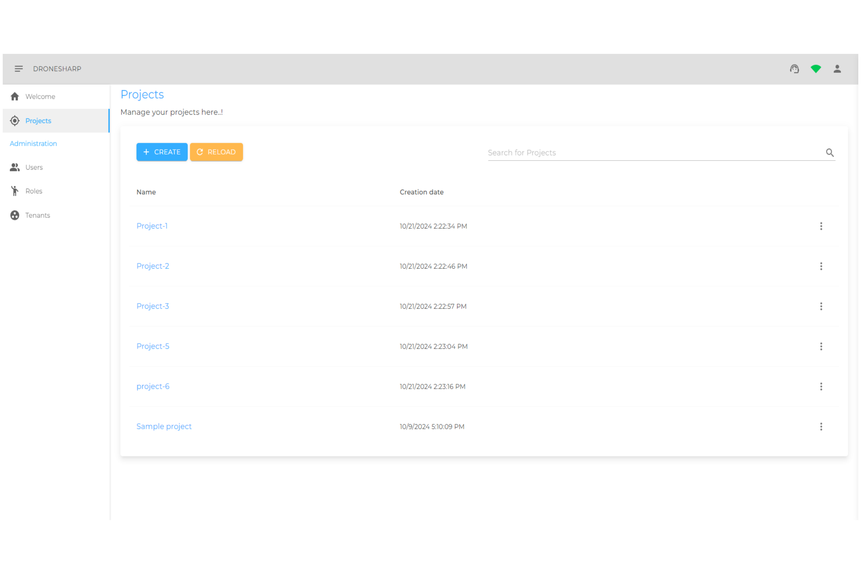
Everything You Need
A complete cloud photogrammetry platform designed for professional survey teams.
Cloud Photogrammetry
Process large datasets at cloud scale without local hardware constraints.
Project Management
Organise all your survey projects, clients, and deliverables in one place.
GCP Interface
Intuitive GCP marking tool for survey-grade accuracy.
Team Collaboration
Share projects and results with clients and team members instantly.
Multiple Outputs
Generate orthomosaics, point clouds, DSMs, and 3D models.
Secure Storage
All your data stored securely in the cloud with access controls.
From Flight to Deliverable
Project Creation
Create a new survey project, define the area of interest, and configure processing parameters.
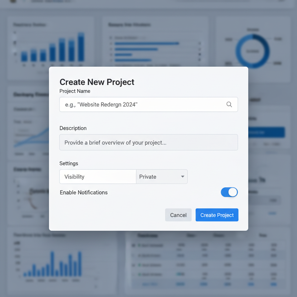
Image Upload
Upload your aerial imagery directly from the field. Supports batch uploads with automatic metadata extraction.
View Results
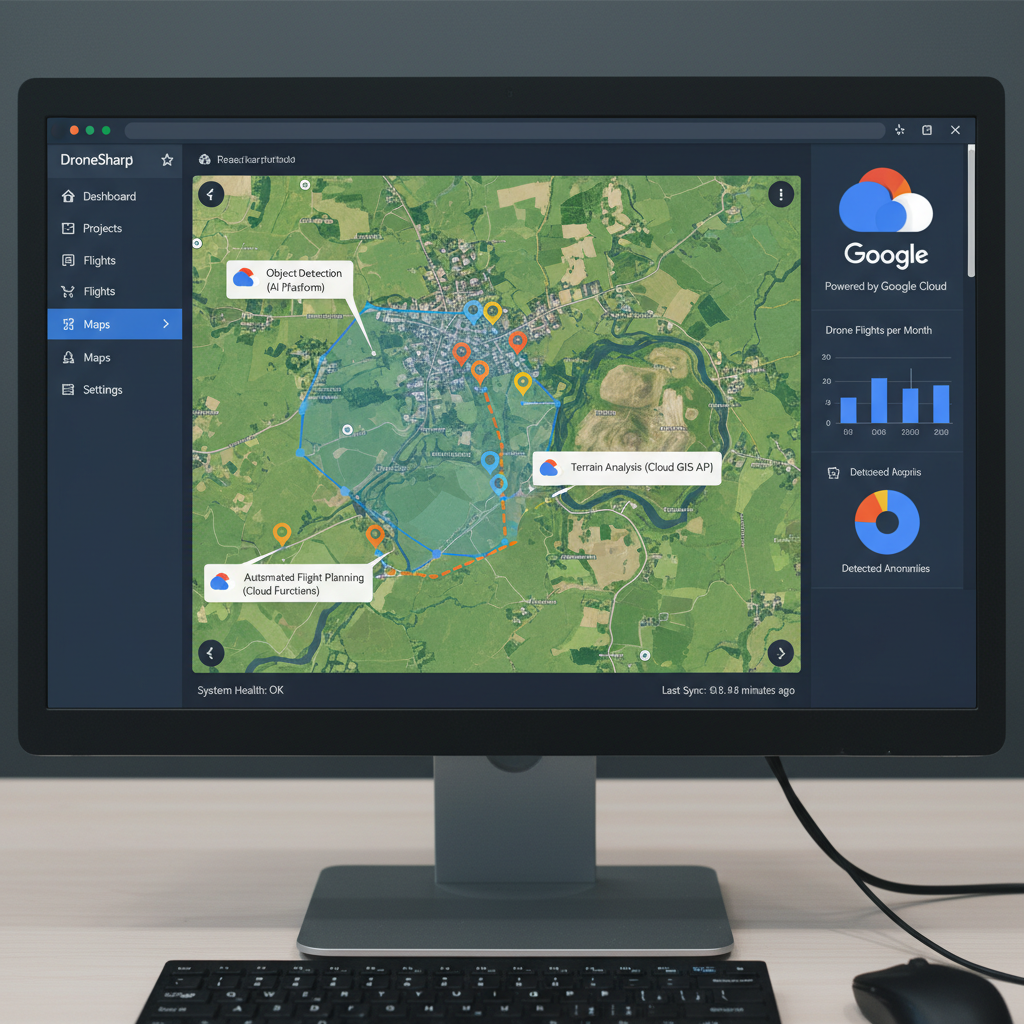
Access your photogrammetry outputs — orthomosaics, point clouds, DSMs — directly in the browser.

GCP Interface
Mark Ground Control Points to achieve centimetre-level accuracy in your final deliverables.
Process at cloud scale
DroneSharp Cloud is available for early access. Get in touch to start processing your survey data in the cloud.